©

230721 Lake Maucapera Alice Laffont 7

|

LAFFONT Alice

Hiking in the great outdoors Lake Maucapéra

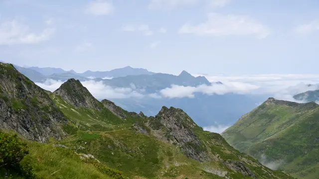
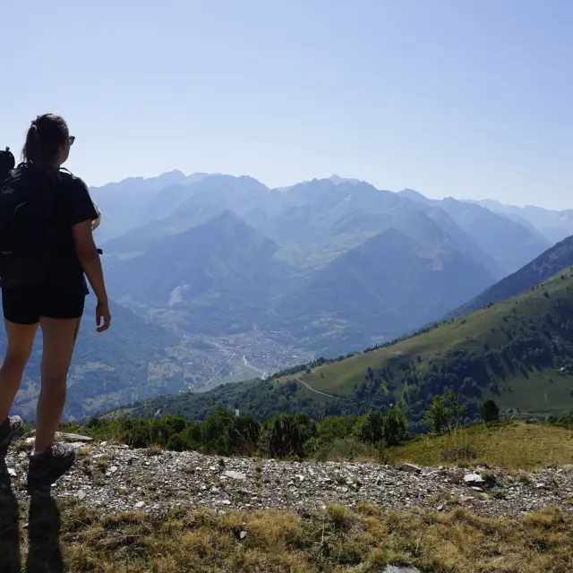
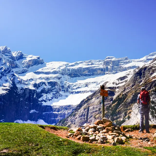
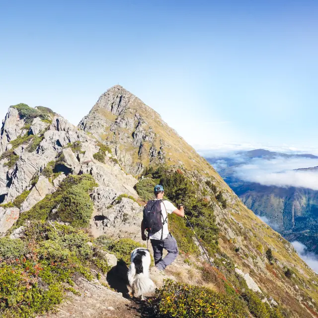
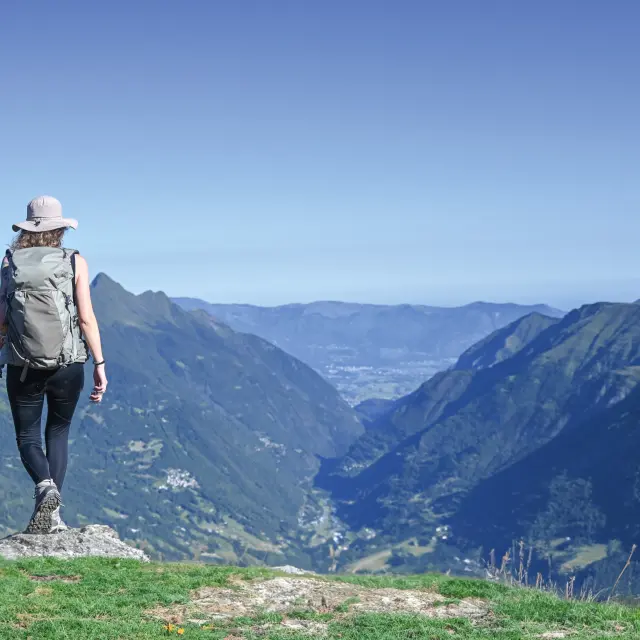
Taking in a beautiful view, cooling off in the woodland or by a lake, admiring the rustic barns and hilltop villages, or simply having a nap at altitude – these are all reasons to put on your walking boots, grab your rucksack, grab an IGN map or a guidebook, and set off on an adventure along the hiking trails.

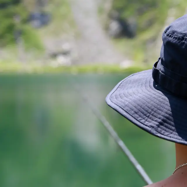
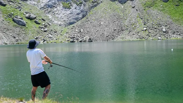
High-altitude fishing Lake Maucapéra

4.45 hours return The Anglers’ Corner

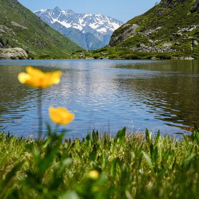
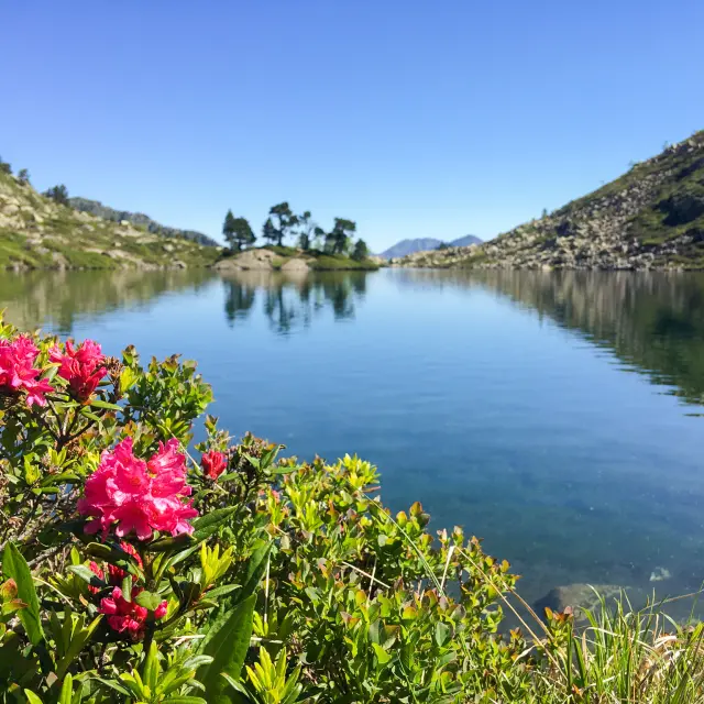
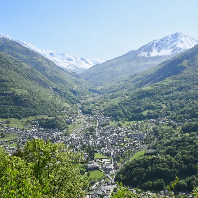
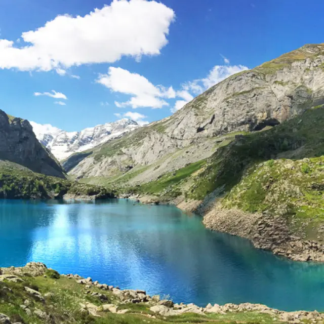
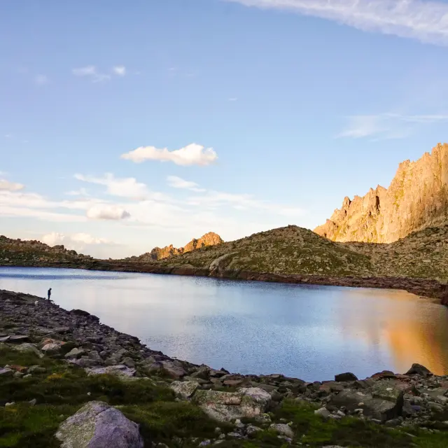
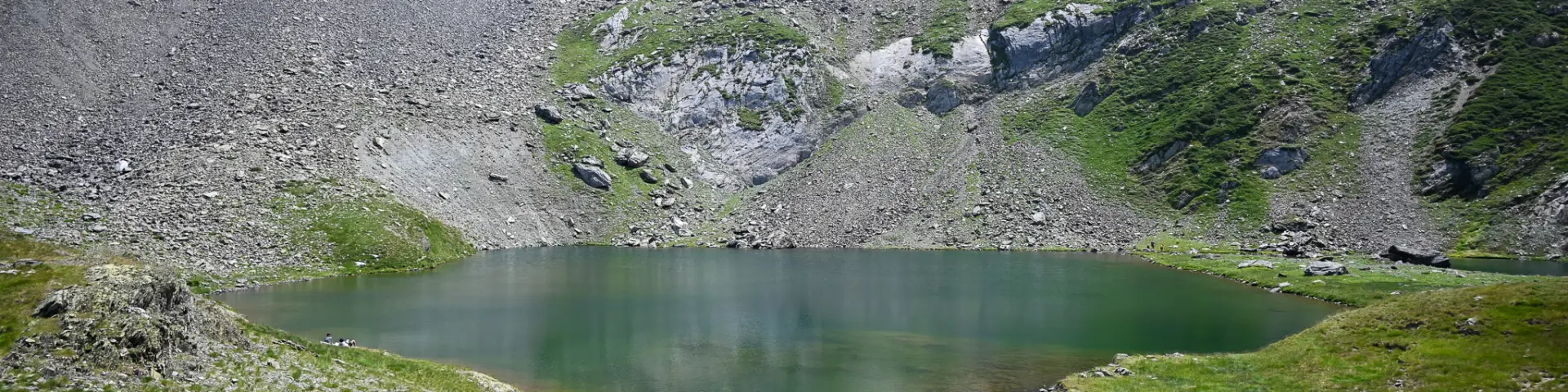
Tucked away at the foot of the Pic de Maucapéra, this lake of the same name is a fascinating, unspoilt spot for keen anglers. Above the idyllic Estibe valley, follow the path that climbs up to the crystal-clear freshwater lake, a nature reserve for fish.
TAKE A LOOKAT
BEFORE YOU SET OFF

Moderate difficulty
752 m elevation gain
Yellow markings

Route from the guidebook *Vallée de Luz-Saint-Sauveur: Lakes and Peaks… On Foot*, on sale at the Tourist Office (€12.50).

Departure from the Tourist Office
+ 5 hours return

Damaged track

Fishing

Camping permitted

pastoral area

Dog on a lead

Fancy some more?

Exploring industrial heritage along the penstocks built for hydroelectric power generation.

©

230721 Lake Maucapera Alice Laffont 6

11Tourist office
  • Head towards Barèges.
    At the secondary school, turn right, following the signs for Les Astès.
    Carry on along the Route de l’Estibe.

2The Pla Grand and Peyrahitte Hut
  • Cross the Yse stream via the bridge, follow the wide path, and at the junction, keep to the right.
    Carry on straight ahead, following the winding path, until you reach the hut.
    In front of the Pla Grand hut (1,659 m), the path winds round a bend and continues south-east.
    Follow it to the Peyrahitte hut (1,835 m, shelter).

3Yse Torrent
  • Continue along the path that climbs to the left up the hillside.
    After a flat section, it climbs up to the upper side of the stream and, after a few hairpin bends, reaches a junction.

4Maucapéra’s cabin
  • Follow the path on the right until you reach some buildings (the EDF water intake for the Pragnères power station).
    Walk past the hut and continue westwards.
    The path turns south and climbs in a series of hairpin bends.
    You’ll come to a small reservoir.

5Lake Maucapéra
  • Cross the stream at the foot of the reservoir and carry on.
    Pass a wide, stony path on your right and head up to the left.
    The path winds its way through the rhododendrons.
    After crossing a grassy ridge, you’ll come to Lake Maucapéra (2,305 m).

9Tourist office
  • The return journey follows the same route.

It is recommended that you use the services of a mountain professional (guide or leader) when hiking this summer route (to be undertaken when there is no snow).

The information provided in this edition and/or on www.luz-tourisme.com, as well as the signposting, is for guidance only.

Maps or diagrams cannot be regarded as official routes.

Despite the care taken in their production, the content from this publication and/or www.luz-tourisme.com does not constitute a contractual document, and the Luz-Saint-Sauveur Tourist Office (SIRET No. 31896425100017) accepts no liability (even in the event of any changes or errors), and cannot be held liable in the event of any accident or damage sustained whilst following this route.

Mowing, pruning and signposting are carried out between May and July by the Barège Valley Trade Union Committee.