©

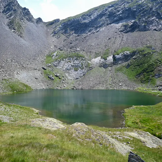
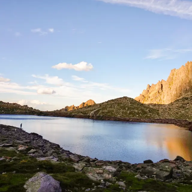
Lake Bastampe Nadege Imbert.jpg10

|

IMBERT Nadege

Hiking in the great outdoors Lake Bastampe

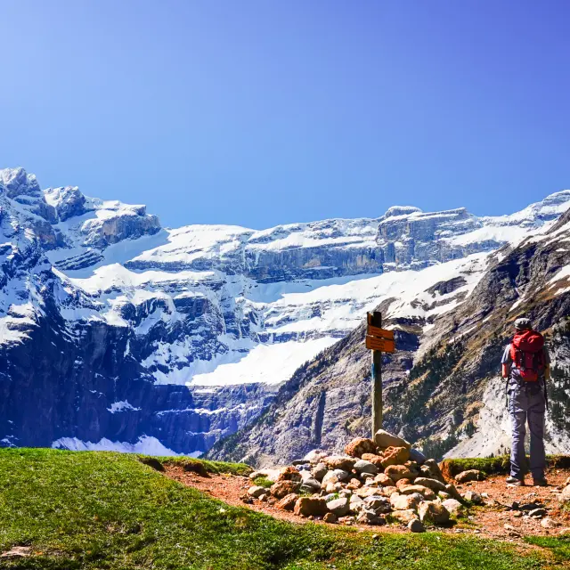
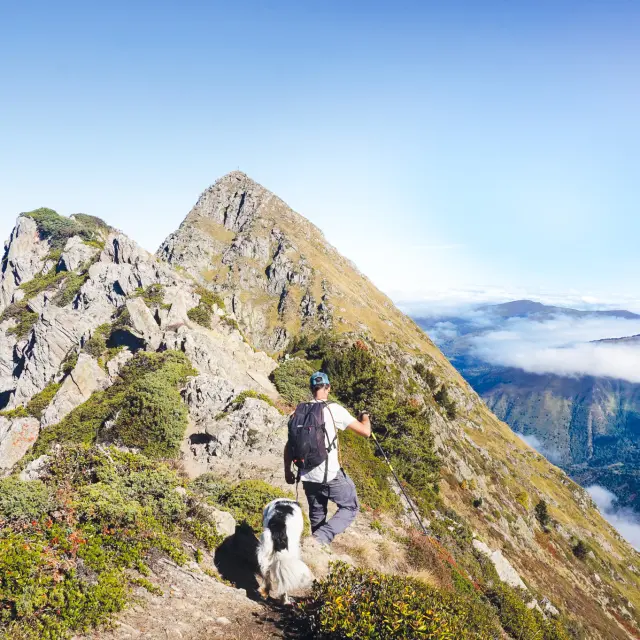
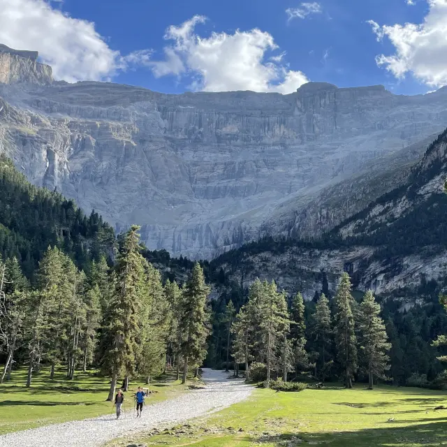
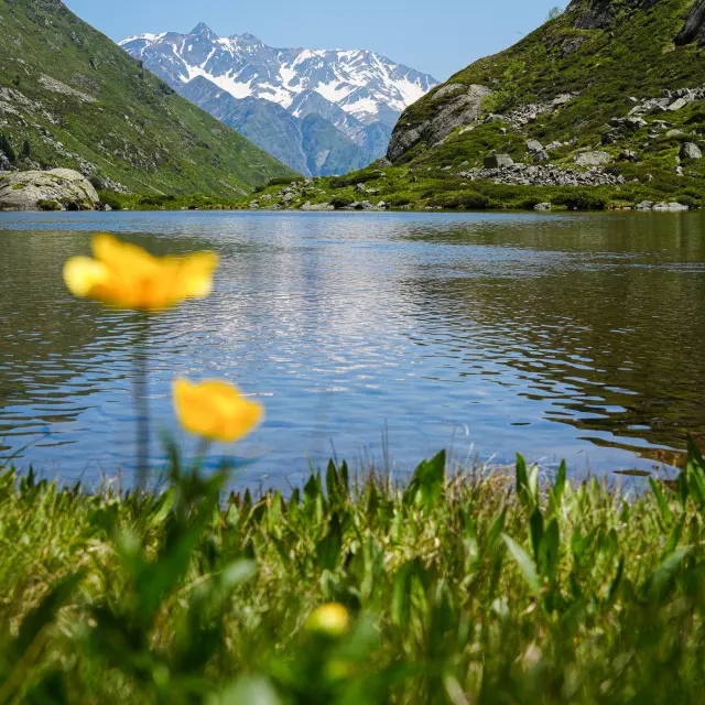
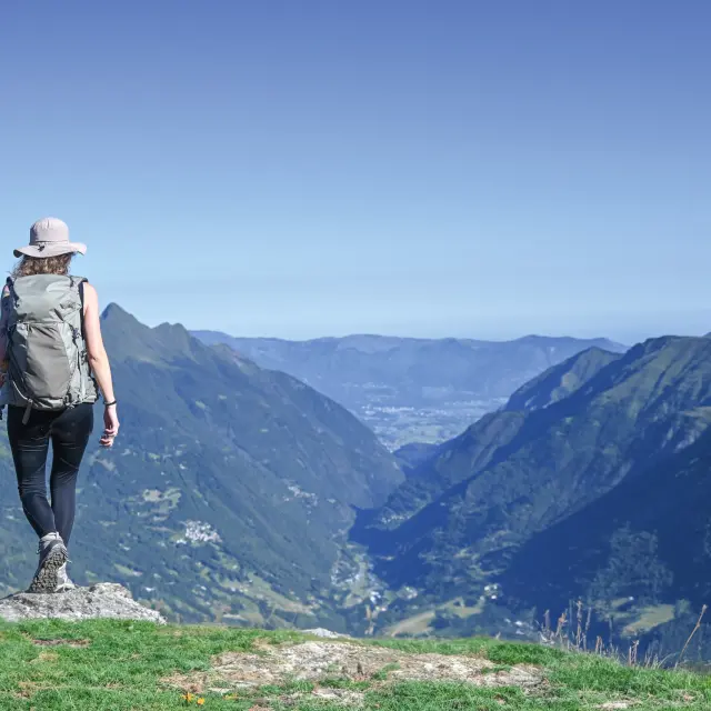
Taking in a beautiful view, cooling off in the woodland or by a lake, admiring the rustic barns and hilltop villages, or simply having a nap at altitude – these are all reasons to put on your walking boots, grab your rucksack, grab an IGN map or a guidebook, and set off on an adventure along the hiking trails.

Escape to the high mountains Lake Bastampe

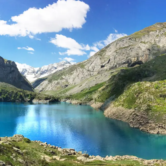
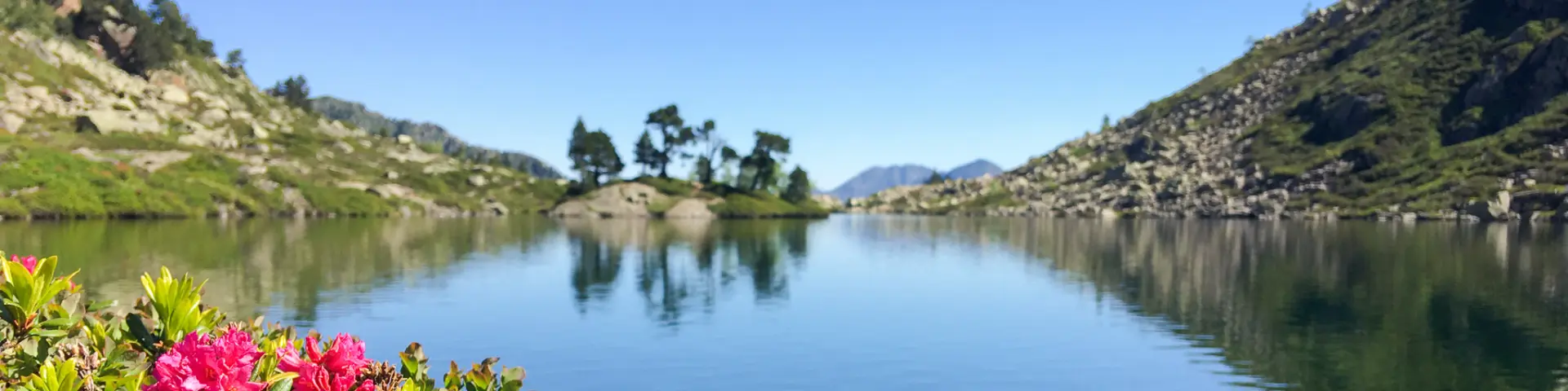
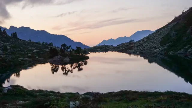
6.15 am return the idyllic island of Bastampe

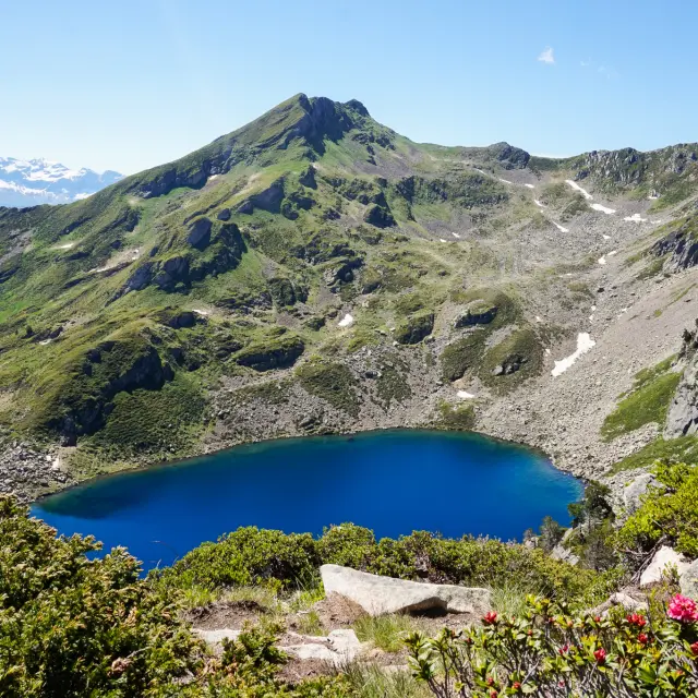
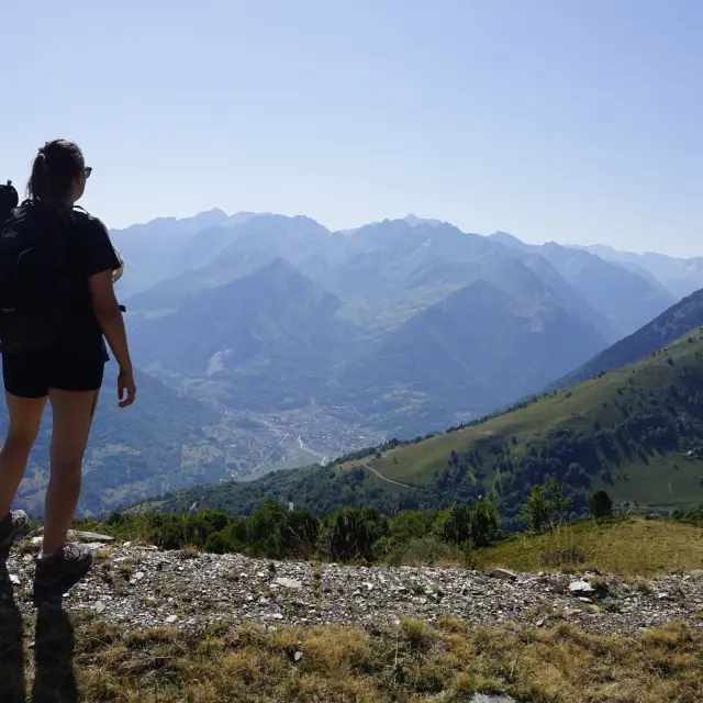
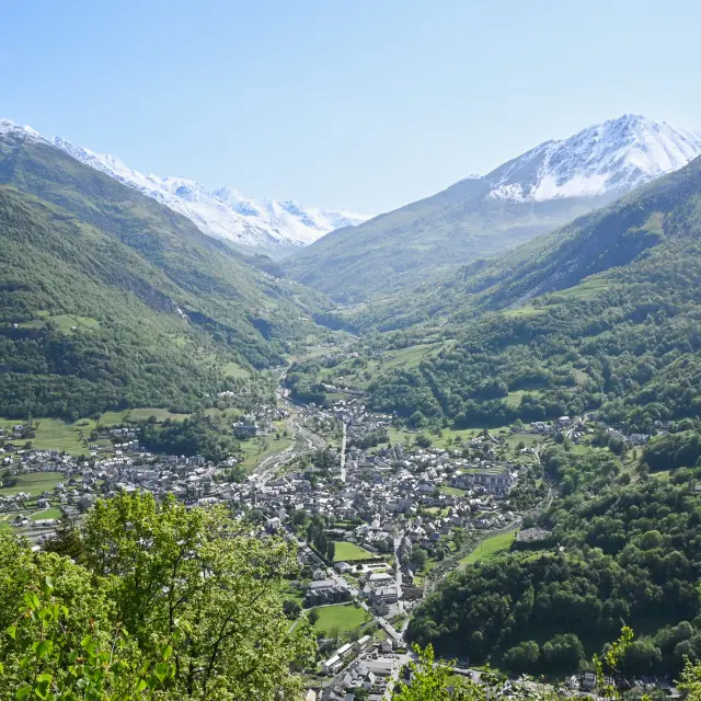
From the Agnouède Forest, a beech wood leads you discreetly through a succession of mountain zones. As you make your way up this steep ascent, take in the diversity of the flora and the magnificent views of Luz-Saint-Sauveur and the Sia Gorges. Lake Bastampe and its island of hook-shaped pines are your reward after a few technically challenging sections through the rocky landscape of the high mountains.
TAKE A LOOK
BEFORE YOU SET OFF

Difficult level
1,220 m elevation gain
Yellow markings

Route from the ‘Vallée de Luz-Saint-Sauveur: Lakes and Peaks… On Foot’ guidebook, on sale at the Tourist Office (€12.50).

Starting point: Tourist Office

8.15 am return

Fishing

Camping permitted

Dog on a lead

Fancy some more?

View of Lake Litouèse from a small pass a 30-minute walk away.

©

Lake Bastampe Nadege Imbert.jpg6

1Tourist office
  • Take the free shuttle bus to the Luz-Saint-Sauveur thermal baths.

2Luzea Thermal Baths
  • Take the path that goes uphill, then, at the hairpin bend, carry straight on along a grassy path.
    At the barns, take the path on the right.
    Climb through the woodland until you reach a wide path.
    Follow it to the left for 400 metres.

3The beech forest, its stream and its cabin
  • Leave the path and head up to the right, then at the next junction, turn right again.
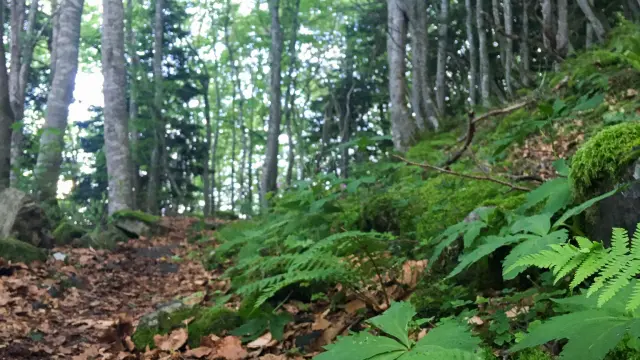
    The path heads south and climbs steadily through a beautiful beech forest.
    Walk up alongside the Badet stream, cross it via a footbridge and carry on.
    The path emerges from the forest and crosses a fern-covered moor, passing the Estarous hut (shelter).
    Cross two streams and you’ll reach the water channel.

4Crossing torrents
  • Follow the pipe to the right for 150 m, passing a water intake (be careful!), then climb up the pipe using the rungs.
    You’ll come across a faint path on the left.
    Continue climbing, cross several streams and, after a steep section, reach a junction.
    Head up to the right; the path then turns south, cross a stream and begin the descent towards a rocky scree slope.

5Rocky path
  • Cross it horizontally (be careful!) and rejoin the path that climbs to the right.
    You’ll reach Lake Bastampe (2,017 m).

5Tourist office
  • The return journey follows the same route.

It is recommended that you use the services of a mountain professional (guide or leader) when hiking this summer route (to be undertaken when there is no snow).

The information provided in this edition and/or on www.luz-tourisme.com, as well as the signposting, is for guidance only.

Maps or diagrams cannot be regarded as official routes.

Despite the care taken in their production, the content from this publication and/or www.luz-tourisme.com does not constitute a contractual document, and the Luz-Saint-Sauveur Tourist Office (SIRET No. 31896425100017) accepts no liability (even in the event of any changes or errors), and cannot be held liable in the event of any accident or damage sustained whilst following this route.

Mowing, pruning and signposting are carried out between May and July by the Barège Valley Trade Union Committee.