©

Gloriettes Otluz 7

|

Arnaud Biondi

Hiking in the great outdoors A walk round Lac des Gloriettes

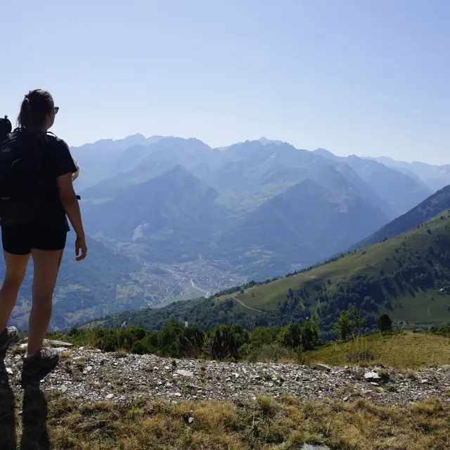
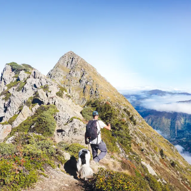
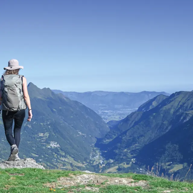
Taking in a beautiful panoramic view, cooling off in the woodland or by a lake, admiring the rustic barns and hilltop villages, or simply having a nap at altitude – these are all reasons to put on your walking boots, grab your rucksack, grab an IGN map or a guidebook, and set off on an adventure along the hiking trails.

Choose the sport option The Bellevue Plateau

2 hours 45 minutes the loop An idyllic spot nestled amongst the mountains

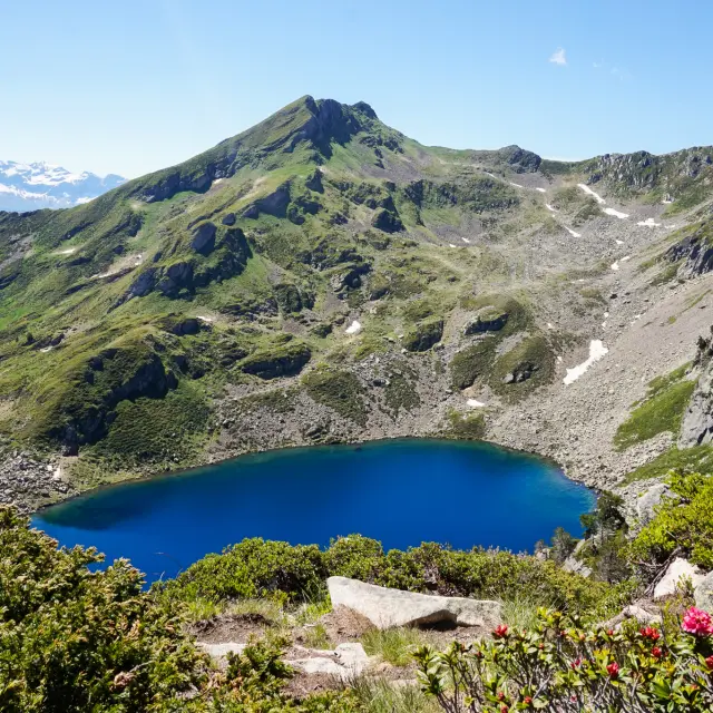
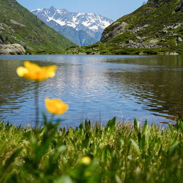
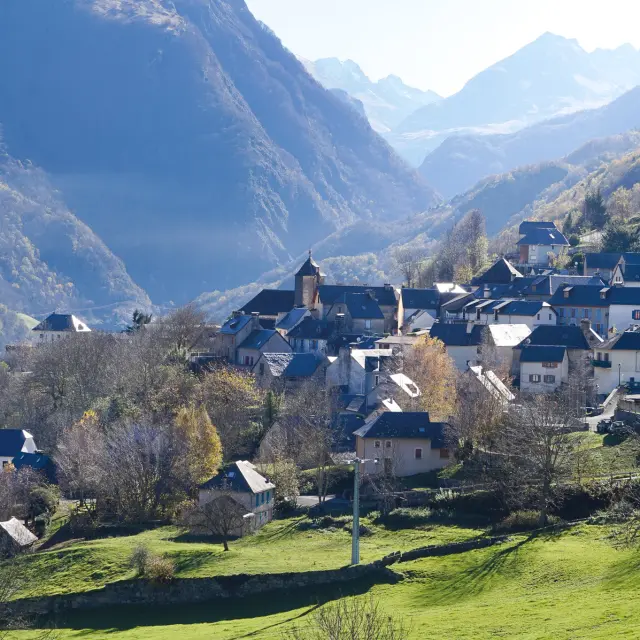
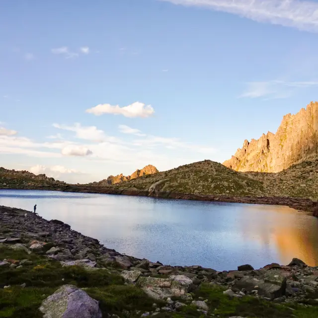
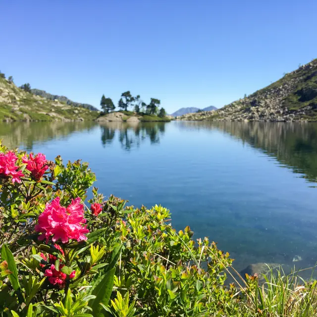
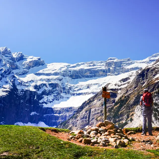
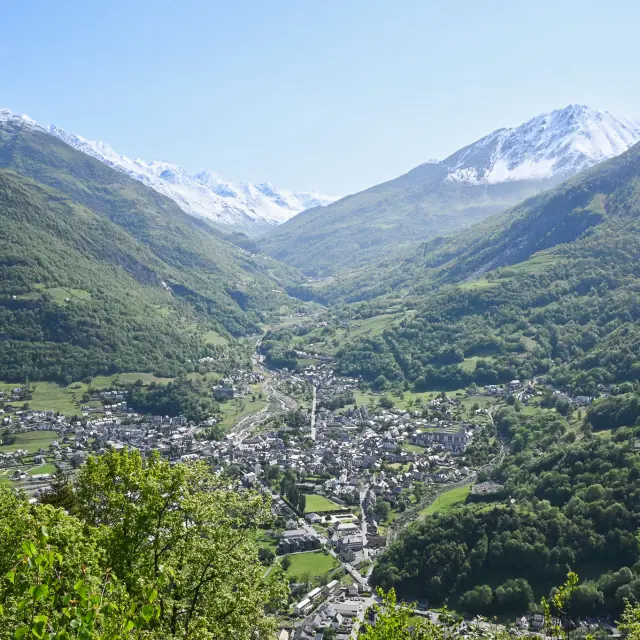
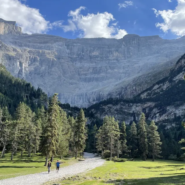
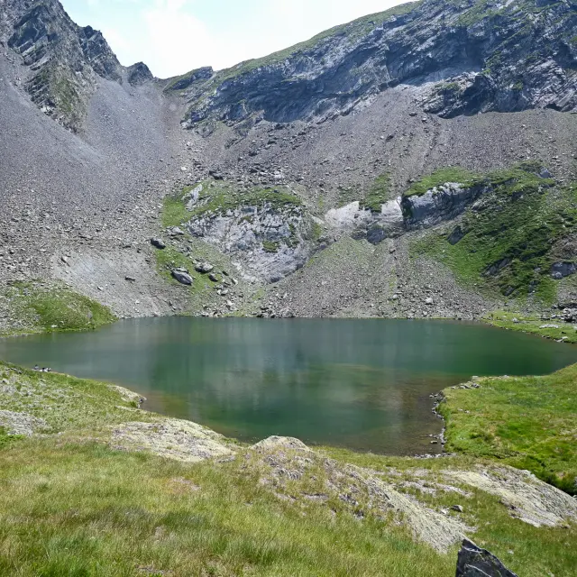
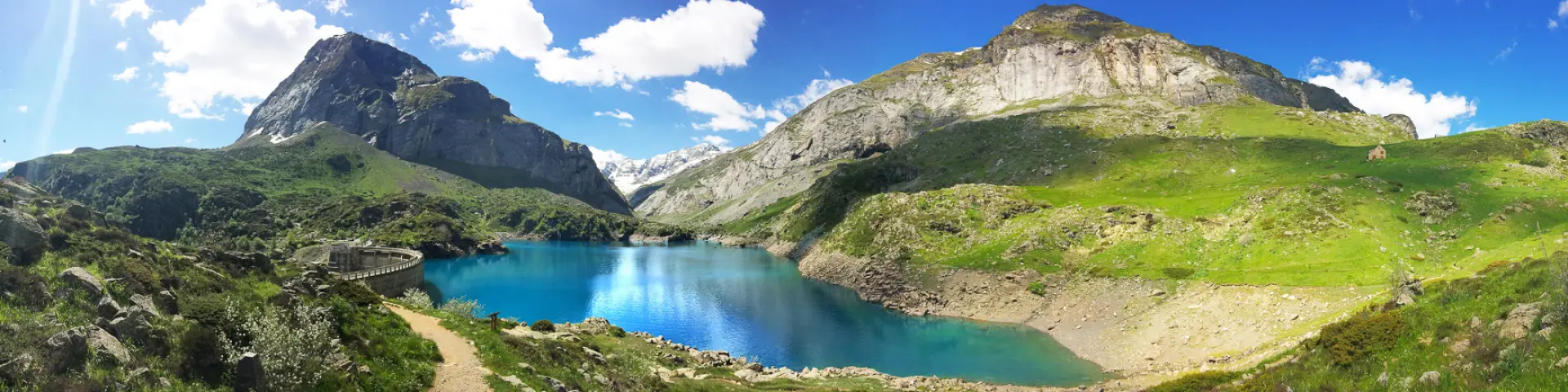
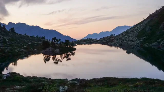
Set against a stunning mountain backdrop, this easy walk invites you to explore the Lac des Gloriettes and the neighbouring Coumély plateau, a vast mountain pasture suspended above the valley. There are several options for extending the walk, notably towards the sun-drenched and idyllic Estaubé cirque.
TAKE A LOOK AT
BEFORE YOU SET OFF

Easy level
248 m elevation gain
Yellow markings

Route from the Vallée de Luz-Saint-Sauveur guidebook ‘Lac et sommets… à Pied’, on sale at the Tourist Office (€12.50).

Car park

Dogs must be kept on a lead
(around the lake only)

National Park

Fancy some more?

The Cirque d’Estaubé, with its hut just an hour’s round trip away – find out more about this lush cirque.

©

Lake Bastampe Nadege Imbert.jpg6

1Barrage des Gloriettes car park
  • From the car park, take the path that leads uphill, 30 metres to the left of the cattle paddock.
    At a fork in the path, leave the Troumouse path on your left.
    The path heads south-west, winding down to the foot of the cliffs, and further on joins a footbridge.
    Cross the footbridge.

2West bank of the lake
  • Turn right (north) and follow the stream, then the western shore of Lac des Gloriettes.
    Before reaching the dam, you’ll come out onto a wide path.

3Lac des Gloriettes
  • Turn left and head uphill, staying on this wide path.
    Cross a small pass, continue to the right, and after walking past a pond, you’ll come to a fork in the path.

45Gavarnie Tourist Office
  • At the junction, head towards the car park to finish your circuit.

It is recommended that you use the services of a mountain professional (guide or leader) when hiking this summer route (to be undertaken when there is no snow).

The information provided in this edition and/or on www.luz-tourisme.com, as well as the signposting, is for guidance only.

Maps and diagrams cannot be regarded as official routes.

Despite the care taken in their production, the content from this edition and/or www.luz-tourisme.com does not constitute a contractual document, and the Luz-Saint-Sauveur Tourist Office (SIRET No. 31896425100017) accepts no liability (even in the event of any changes or errors), and cannot be held responsible for any accidents or damage sustained whilst following this route.

Mowing, pruning and signposting are carried out between May and July by the Barège Valley Trade Union Committee.