©

230807 Pic Bergons Nadege Imbert Luztourisme 1

|

Nadège Imbert - Luz Tourisme

Hiking in the great outdoors Bergons Peak

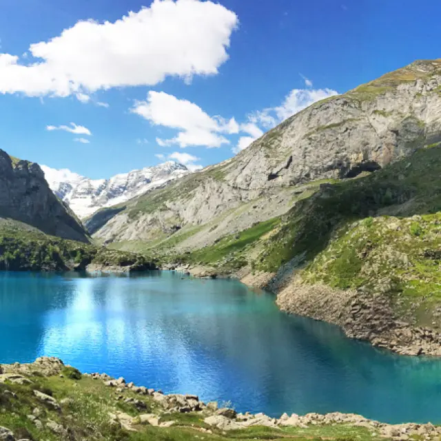
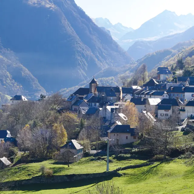
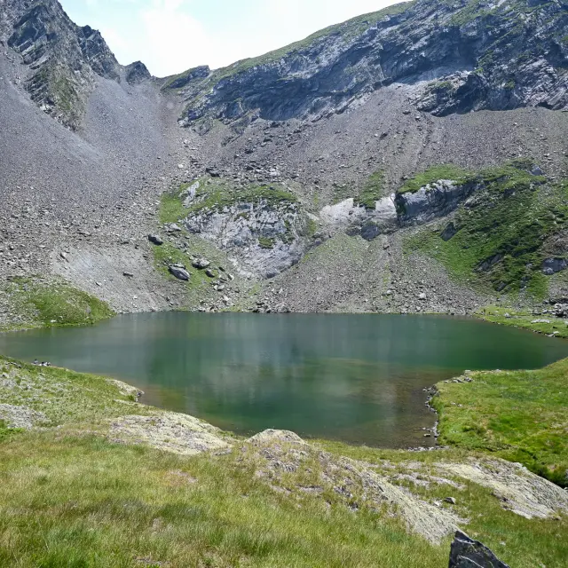
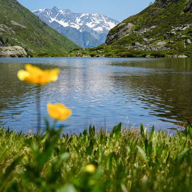
Taking in a beautiful view, cooling off in the woodland or by a lake, admiring the rustic barns and hilltop villages, or simply having a nap at altitude – these are all reasons to put on your walking boots, grab your rucksack, grab an IGN map or a guidebook, and set off on an adventure along the hiking trails.

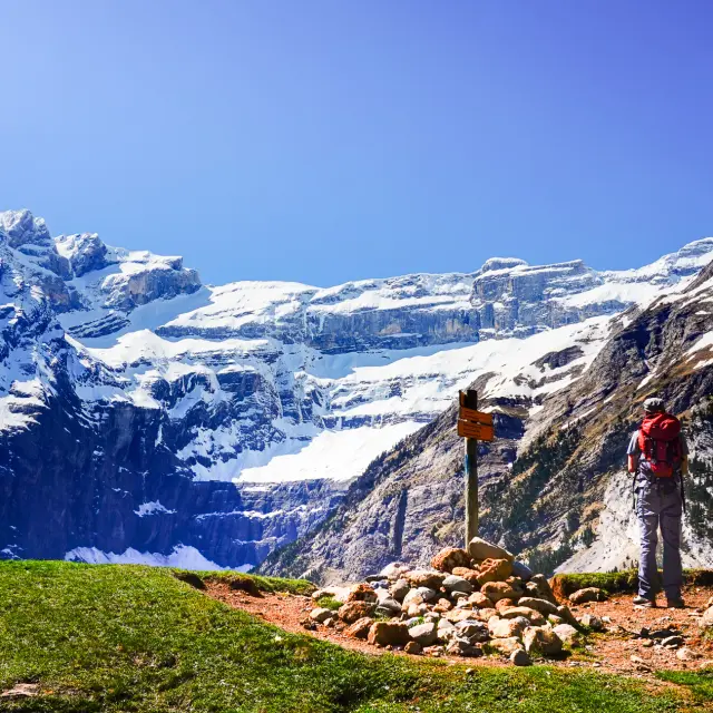
Turn your gaze towards Gavarnie The Pic de Bergons

3 hours 15 minutes return Photographing the Pyrenees

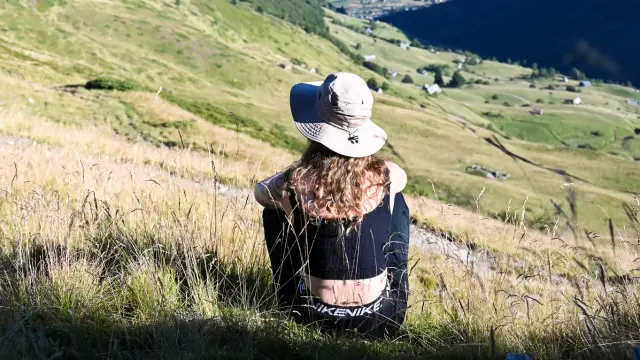
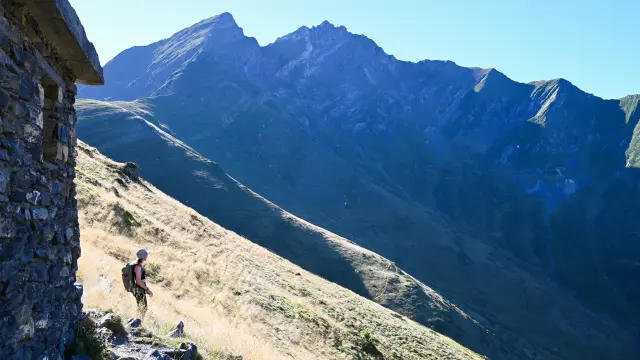
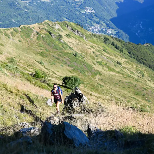
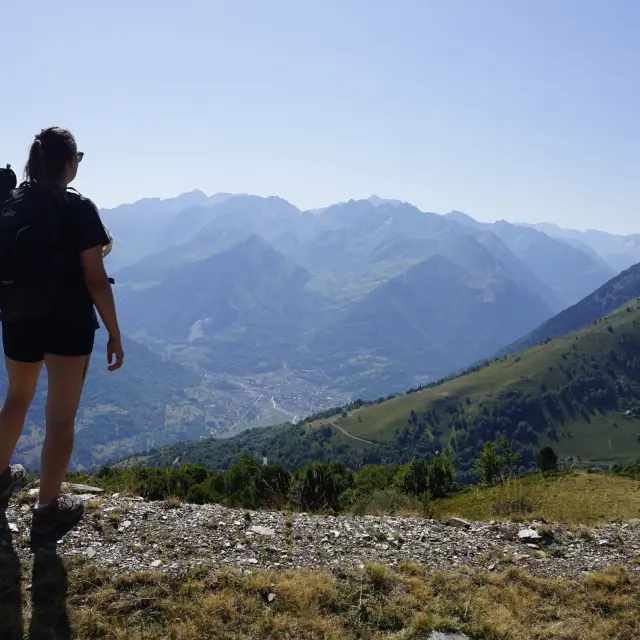
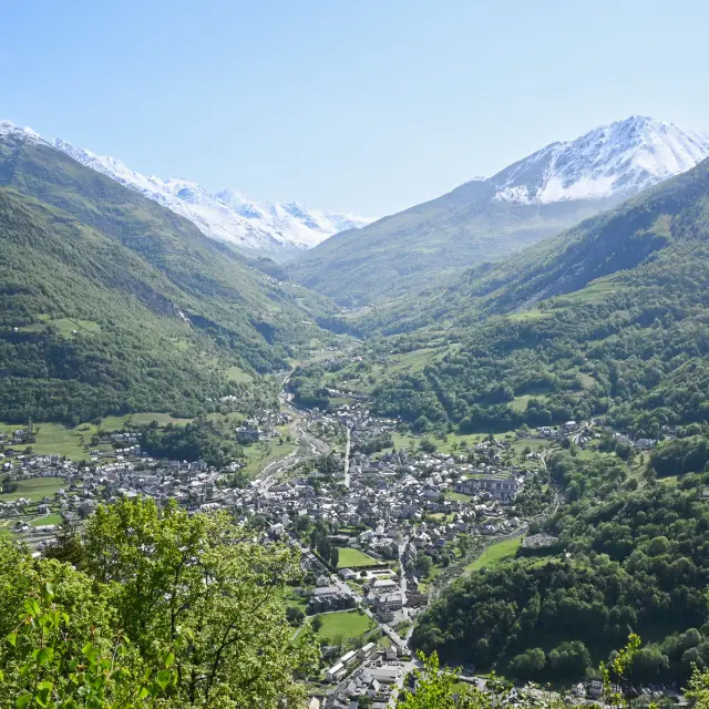
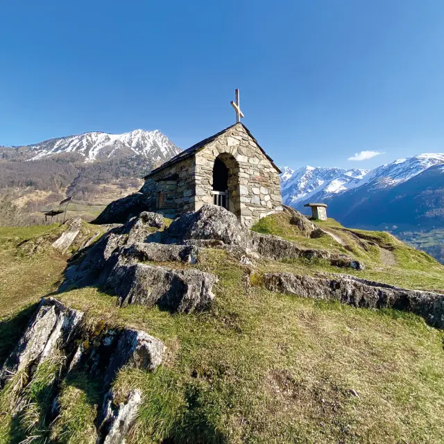
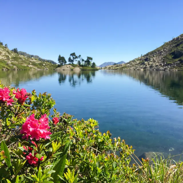
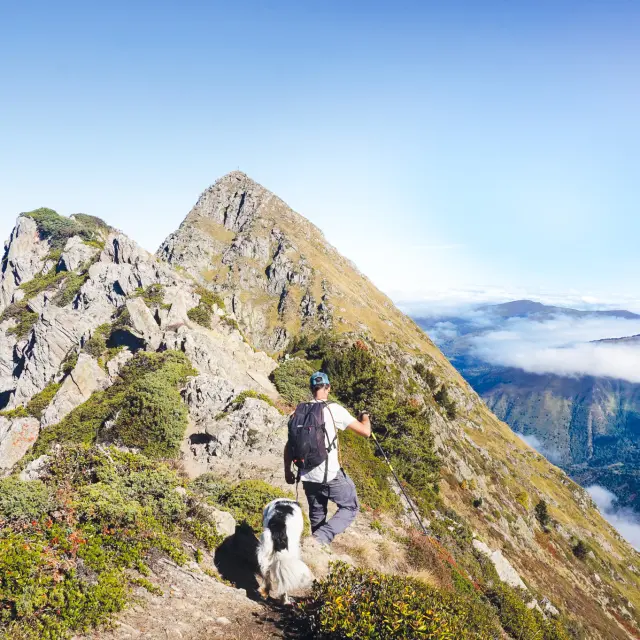
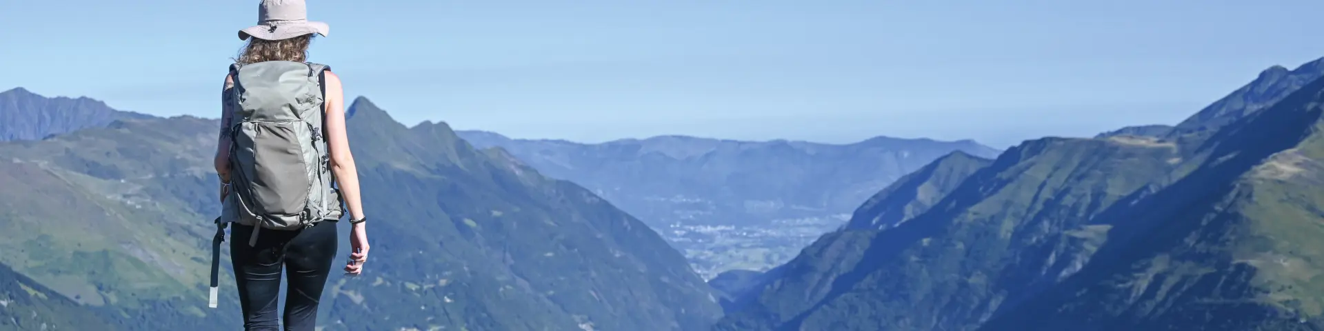
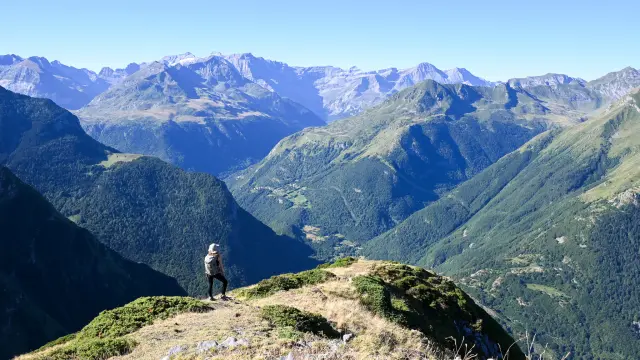
Le Bergons offers one of the best 360° views of the Gavarnie Cirque, the Ardiden massif and the valleys around Luz-Saint-Sauveur. It is the perfect hike for capturing the authentic beauty of the Pyrenean mountains: herds, sheepfolds, flocks of birds of prey, wild flowers…
TAKE A LOOKAT
BEFORE YOU SET OFF

Moderate difficulty
619 m elevation gain
Yellow markings

Route from the ‘ Luz-Saint-Sauveur Valley: Lakes and Peaks… On Foot’ guidebook, on sale at the Tourist Office (€12.50).

Departure from the Tourist Office
+ 5 hours return

damaged track

360° view

Pastoral area

Dog on a lead

Fancy some more?

A walking route starting from the village of Luz-Saint-Sauveur, suitable for keen walkers.

©

230807 Pic Bergons Nadege Imbert Luztourisme.jpg6

1Tourist office
  • Head towards Barèges.
    At the secondary school, turn right, following the signs for Les Astès.
    Carry on along the Route de l’Estibe.

2Estibe Trail
  • Follow the track uphill for 100 metres, then leave it and head up to the right along a grassy path.
    At the next junction, carry on straight ahead and join a track.

3Bachebirou Pass and Hut
  • Follow the track to the right for a few metres, then turn left onto a path that climbs south-eastwards (leaving the access paths to the barns on your right).
    Make your way through the mountain pastures, taking two wide hairpin bends, until you reach the pass and the Bachebirou hut (shelter) (1,984 m).

4Bergons Pass and Summit
  • From the pass, take the path on the right (west) which climbs up a broad ridge and leads to the summit of Bergons (2,068 m).

5Tourist office
  • The descent follows the same route.

It is recommended that you use the services of a mountain professional (guide or leader) when hiking this summer route (to be undertaken when there is no snow).

The information provided in this edition and/or on www.luz-tourisme.com, as well as the signposting, is for guidance only.

Maps or diagrams cannot be regarded as official routes.

Despite the care taken in their production, the content from this publication and/or www.luz-tourisme.com does not constitute a contractual document, and the Luz-Saint-Sauveur Tourist Office (SIRET No. 31896425100017) accepts no liability (even in the event of any changes or errors), and cannot be held liable in the event of any accident or damage sustained whilst following this route.

Mowing, pruning and signposting are carried out between May and July by the Barège Valley Trade Union Committee.